|
Size: 2502
Comment:
|
Size: 2523
Comment:
|
| Deletions are marked like this. | Additions are marked like this. |
| Line 34: | Line 34: |
| * Diff shape {{attachment:Mslp.jpg}} * Sigmas {{attachment:Mslp.jpg}} * Resolution of maplets {{attachment:Mslp.jpg}} * Number of images in a maplet {{attachment:Mslp.jpg}} {{attachment:Mslp.jpg}} * MAPINFO's residuals (col 9) for each maplet {{attachment:Mslp.jpg}} |
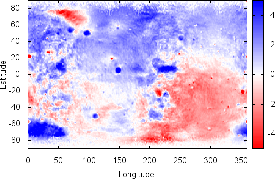
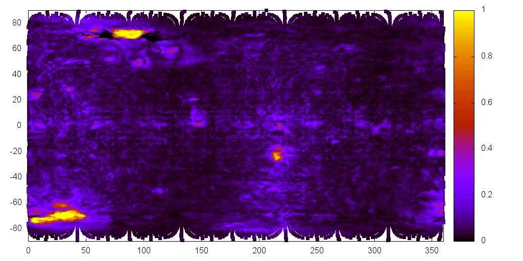
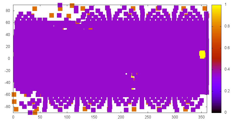
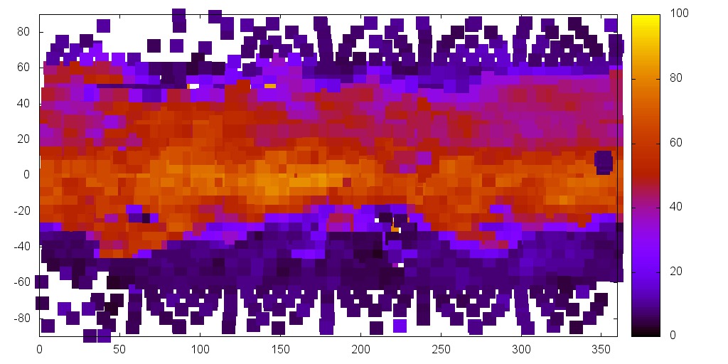
* Diff shape {{attachment:delta-P10.png}} * Sigmas {{attachment:sigma-P10.png}} * Resolution of maplets {{attachment:MapResP10.jpg}} * Number of images in a maplet {{attachment:imgNo1.jpg}} {{attachment:imgNo2.jpg}} * MAPINFO's residuals (col 9) for each maplet {{attachment:mapErr.jpg}} |
Describe Error_evaluation here.
Here are a list of error evaluation tools and ideas
- formal uncertainty -- standard, bottom of the RESIDUALS.TXT. Contains the fit of all the landmarks and overlaps.
- Best 80% of landmarks. Taken from ?
- CompareOBJ
- CompareOBJ TR
- CompareOBJ --save-plate-error error
- diffShape and gnuplot delta.gpi
- SIGMAS.TXT plotted with sig.gpi
- 2D heat map plot of number of images in landmarks
- 2D heat map plot of residual errors for landmark
- 2D heat map plot of residual errors for images
- Evaluation of delta between truth S/C position and solved for S/C position: as an RMS
- 2D plot of delta between truth S/C position and solved for S/C position.
Number of "issues" (or >>) in MAPINFO, PICINFO and RESIDUALS.TXT
To Do
- Rebuild shape 3.7
- Get RMS for each ZMAP
Run PreSurvey CompareOBJ
--
- formal uncertanity 0.5179
- RMS 1.447
- RMS w/ TR 1.046
DiffShape 1.771
Diff shape
Sigmas
Resolution of maplets
Number of images in a maplet
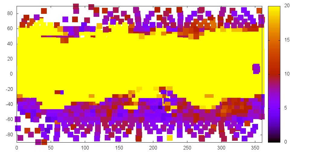
MAPINFO's residuals (col 9) for each maplet
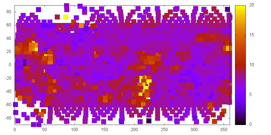
--
General info about error -- as I try to figure out what is best to use
RESIDUALS
- img x, y val val
- overlap x, y val val
- img x, y val val
- The 1st column is a list of 1. IMAGEFILES included in the landmark 2. overlaps with other landmarks 3. Limbs
- The 2nd column is the error in deltaX (# pixels in image resolution)
- The 3rd column is the error in deltaY (# pixels in image resolution)
- The 4th column is the magnitude of the error (combines deltaX and deltaY)
- The 5th column is the error in physical units (km)
- .........................
- name val
- (Bottom)
- Meter resolution, difference between predicted and actual
- (Very bottom)
- Observations how many things RMS Residual (m) (vector residual)
- (Bottom)
MAPINFO.TXT name ........ val val
- col 9 formal uncertainty in meters of the landmark position
- col 10 Flag
">>" Flag showing landmarks that are below the pixel threshold. You might want to look at.
- "**" Fewer than 3 images
- col 11 Residual in meters of the nominals and position
PICINFO.TXT name ....... val dx, dy, dz dCx, dCy, dCz
- Col 7 - Pixel residual (RMS in pixels)
