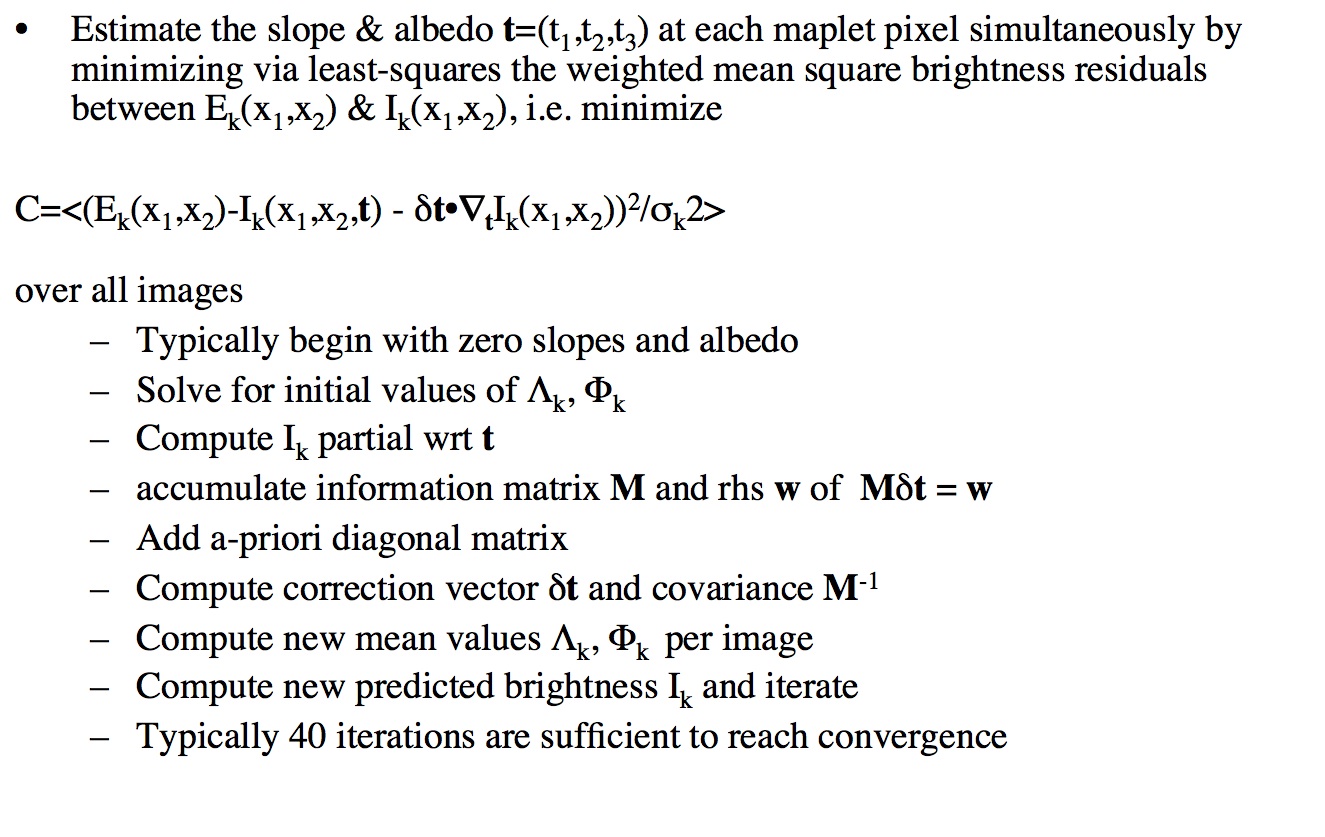
Aligns maplets to the current shape model and will provide slight changes to the shape (stored in MAPFILES).
Lithos is the key for SPC. It works on a single landmark, which defined the associated maplet. This landmark must be created (i.e. fully defined) and all the images it includes must be shifted so that everything is aligned. Once those are done, you can calculate the topography which includes identifying other maps that overlap, creating a template, and then solving the whole system.
The output from make_script(P) is used as input to Lithos and LithosP for batch processing. The mark_script program will create a script for each landmark that you will process, which is taken as input (e.g. lithos < LAND01.IIN > LAND01.OOT)
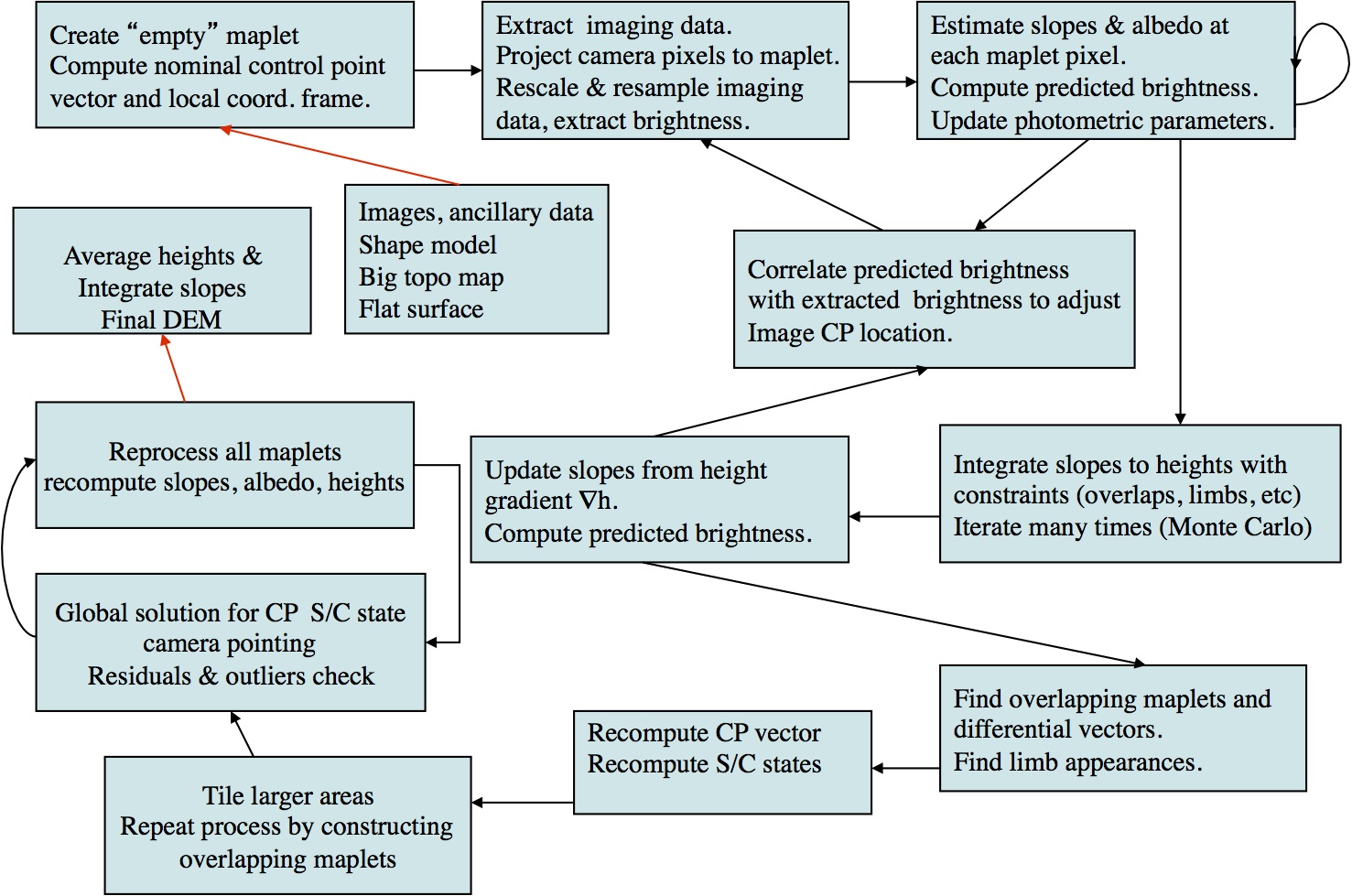
3D topography & relative albedo model of a portion of the surface
Control vector V from body center to origin of local coordinate system
Camera coordinate system ci(i=1, 3) and S/C position W
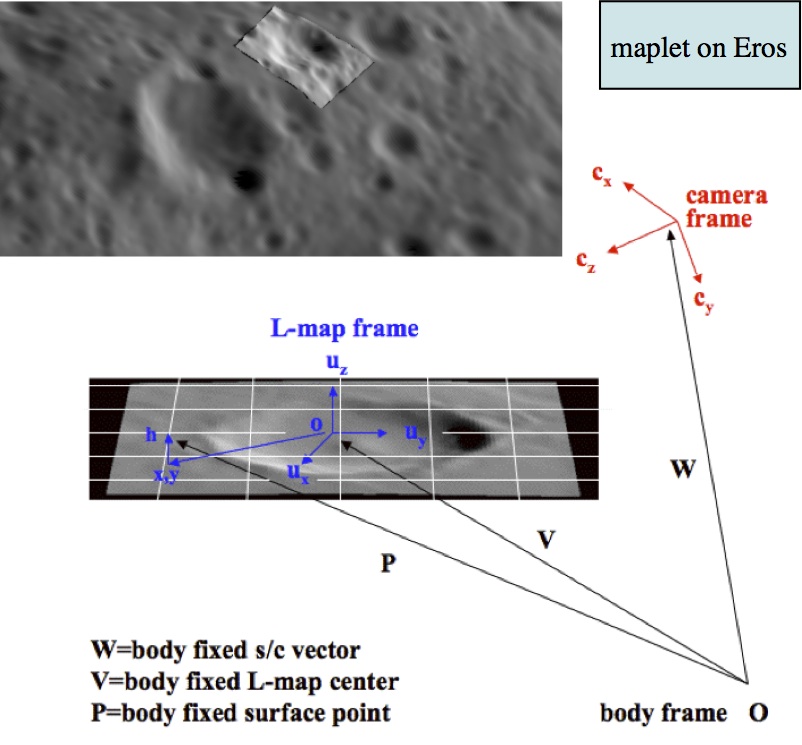
(1) => (p, l) mapped onto surface, control vector V determined by bi-linear interpolation from heights of nearest 4 vectors of a-priori topography. Same with (2), (3)
Interpolate heights from a-priori topography to maplet pixels => h(x1,x2)
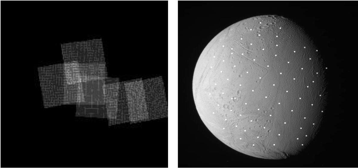
Dark & invisible pixels are ignored & pixel brightness rescaled
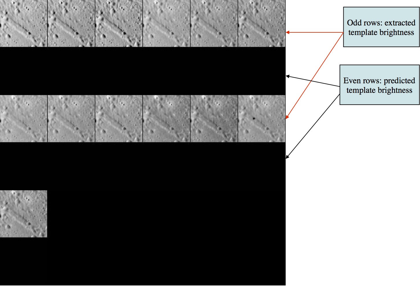
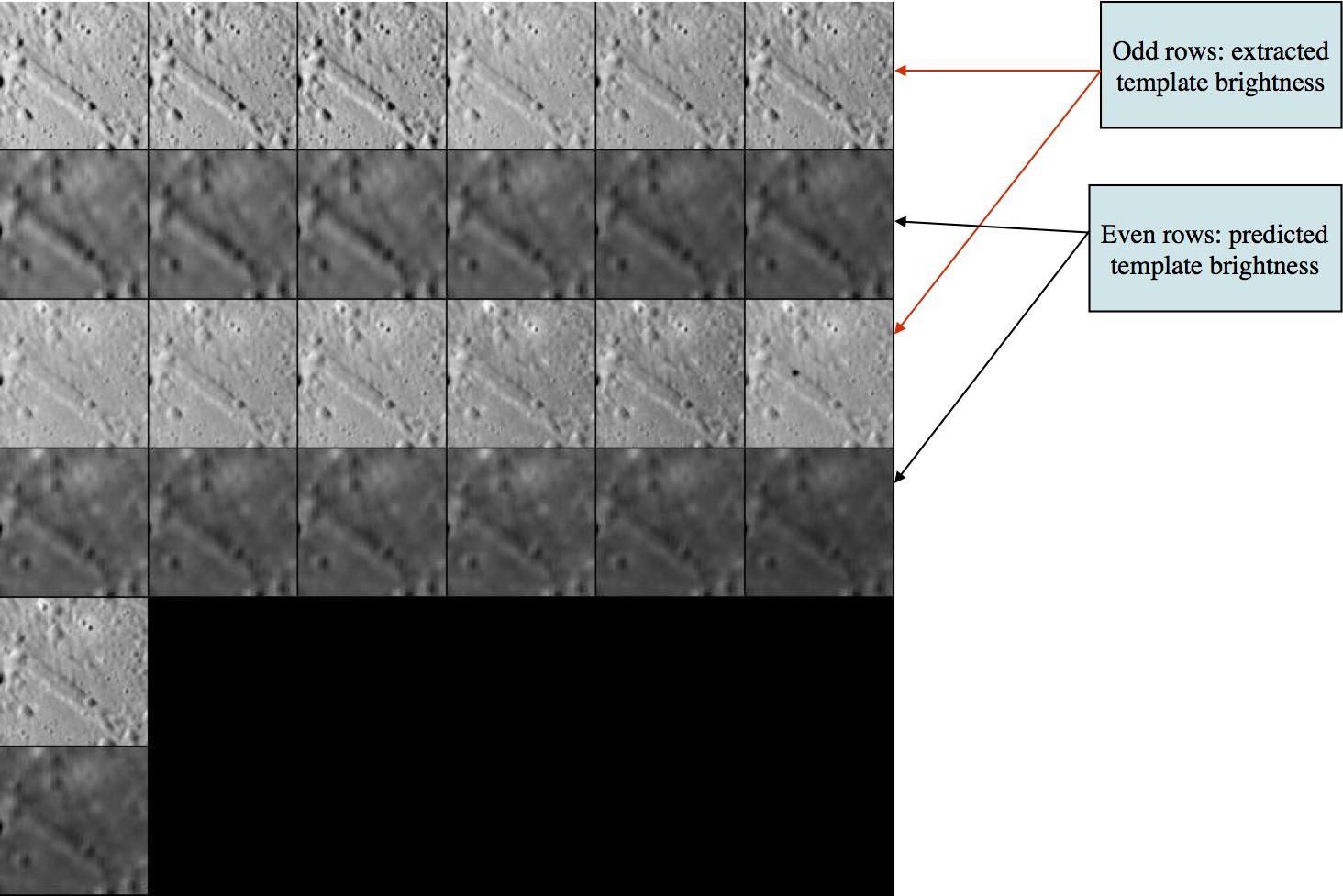
0. Find template
1. Align landmarks
2. Find heights
O. Attach map to maps or limbs
I. Input landmark
U. Update landmark files
C. Create new landmark
R. Replicate or Rename landmark
S. Change scale, qsz or orientation
G. Turn on rename
N. Find normal
V. Find V, Z or PTG
A. Reset albedo or slopes
M. Get heights from shape model
B. Get heights from surrounding map
if y
CP0002    0.0500    1.0000
CQ0004    0.0500    1.0000
CQ0008    0.0250    1.0000
CQ0009    0.0250    0.9822
CQ0017    0.0120    0.9153
DP0002    0.0500    0.8923
......    ......    ......
X. Turn on/off extract filter. Tol = 0.050
D. Delete or Disconnect landmark
E. Eliminate pictures from landmark
c. Continue
a. Auto remove
n. Auto remove (new pictures)
m. Manual remove
p. Check peripheral visibility
o. Remove no-correlation pix
t. Auto change topo flag
For a, n, & t Input INVLIM, SLIM, CLIM, RSMN, RSMX
P. Picture status
L. Turn off picture restriction
F. Find maplets containing surface point
Z. Use zoom display
H. Hide screen output
../LITHOSPHERE/LITHOS
i
CQ0082 - input landmark
n - no new pictures (auto)
n - no new pictures (manual
x - turn on extract filter
.025 - filter setting
0 - find template
CQ0082
Lat =    34.721
Lon =    30.609
Rad =     7.830

    k    chi    lambda    phi    res

    1   0.982   1.657   0.000   0.013
    2   0.980   1.758   0.020   0.013
    3   0.978   1.894   0.000   0.013
    . . .
   19   0.975   1.566   0.000   0.013
   20   0.890   0.564   0.388   0.011
   21   0.967   1.200   0.106   0.006
   22   0.974   1.467   0.039   0.006

Picture to toggle
 a use all
 b use registered
 c use correlated
 0 end/continue
 q Quit
a use all pics (find template will then be repeated)
0 find template
CQ0082
Lat =    34.721
Lon =    30.609
Rad =     7.830
    1   0.982   1.657   0.000   0.013
    2   0.980   1.758   0.020   0.013
    3   0.978   1.894   0.000   0.013
    . . .
   19   0.975   1.566   0.000   0.013
   20   0.890   0.564   0.388   0.011
   21   0.967   1.200   0.106   0.006
   22   0.974   1.467   0.039   0.006

Picture to toggle
 a use all
 b use registered
 c use correlated
 0 end/continue
 q Quit
0 - find template
40 - entering number of iterations
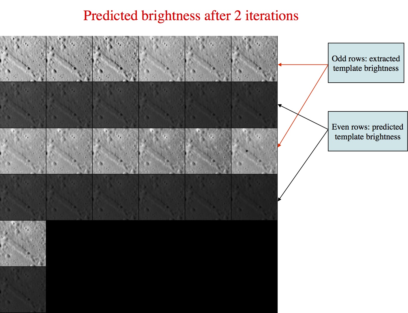
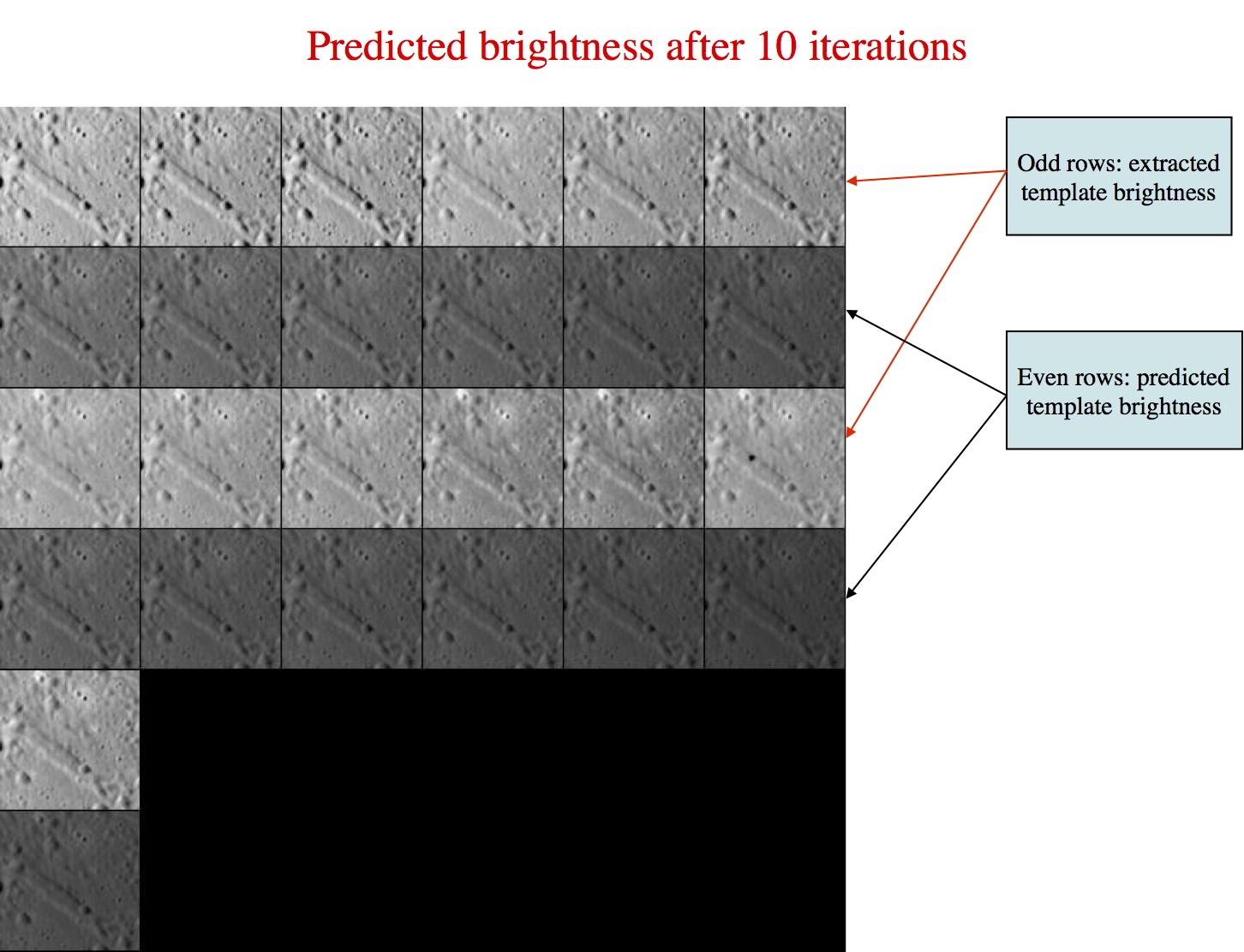
 rms brightness residual =     0.0263363486
 rms brightness residual =     0.025349268
 rms brightness residual =     0.0248495566
 rms brightness residual =     0.0245736285
 rms brightness residual =     0.0244101752
 . . .
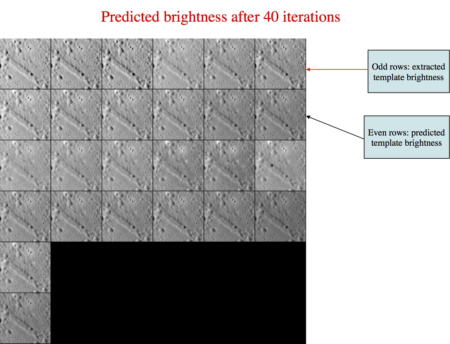
 rms brightness residual =     0.0237731646
 rms brightness residual =     0.0237679522
 rms brightness residual =     0.0237629545
 rms brightness residual =     0.0237581461
 rms brightness residual =     0.023753511

slope sigma =   0.20933789259641114

  -0.13586   0.16231  -0.42437   0.16636  -0.21634   0.21424

gc tmpl.pgm
(slope sigma above is not correct for example landmark)

gc LMRK_DISPLAY1.pgm
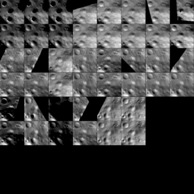
z (zoom display)
gc LMRK_DISPLAY1.pgm
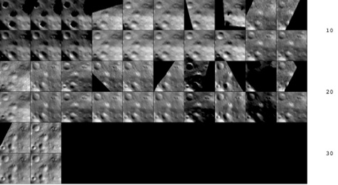
1 - aligning landmarks
  0. Auto align
  1. Individual shift
  2. Global shift
  3. Align with picture
  4. Align with gradient
0 - auto align
1 - value selected for spacing (larger values do a dumber correlation over a wider range)
  1   M0130996017        -0.001     0.006     0.983 +++++
  2   M0130996102         0.013    -0.008     0.980 +++++
  3   M0130996187         0.012     0.003     0.979 +++++
  4   M0131278391        -0.052    -0.011     0.972 +++++
  5   M0131278655         0.010    -0.005     0.979 +++++
  6   M0131278919         0.006     0.004     0.977 +++++
  7   M0131279183         0.002     0.001     0.983 +++++
  8   M0131279711         0.014    -0.011     0.977 +++++
  9   M0132106609        -0.002     0.003     0.944 +++++
 10   M0132106706         0.007     0.045     0.896 +++++
 11   M0132225961         0.012     0.003     0.960 +++++
 12   M0134213600         0.012     0.014     0.952 +++++
 13   M0135729214        -0.001     0.000     0.983 +++++
 14   M0135844895         0.029    -0.002     0.934 +++++
 15   M0135844957         0.006     0.011     0.960 +++++
 16   M0137457715         0.020     0.009     0.979 +++++
 17   M0138840893        -0.002     0.005     0.979 +++++
 18   M0140968493         0.004     0.008     0.981 +++++
 19   M0143092151        -0.006    -0.003     0.976 +++++
 20   M0132106900         0.000     0.007     0.890 +++++
 21   M0138580606         0.010     0.012     0.967 +++++
 22   M0138580916         0.004    -0.003     0.974 +++++
n - new spacing? (y/n)
 0.  continue.
 1.  halve shifts.
 2.  quarter shifts.
0 - continue
y - update landmark pixel locations? (y/n)
1 - (Don't know what this does)
  0. Auto align
  1. Individual shift
  2. Global shift
  3. Align with picture
  4. Align with gradient
If 1 (Individual shift) selected
1 - individual shift
5 - picture to move landmark in. 0 to quit.
2,6 - input shift of windowin pixels
0 - picture to move landmark in. 0 to quit. (window shift)
If 2 (Global shift) selected
2 - global shift
2,6 - input shift of window in pixels
If 3 (Align with picture) or 4 (align with gradient) selected
3 or 4
4 - entered key picture (0 for auto)
1 - value entered for spacing
2 - finding heights
TOOLS
 0. Begin integration
 1. Auto include neighboring maps
 2. Include existing heights
 3. Include shape vectors
 4. Include limb vectors
 6. Include differential stereo
 7. Include shadowing
 8. Fill with shape
 9. Restart
 Q. Exit
2 - include existing heights
0.001 - include fraction of points
8 - fill with shape
1 - auto include neighboring maps
4 - include limb vectors
1,2.5,3 - input expansion, res/scale limit, d_hgt limit
0 - begin integration
.025 - inputted weight
30 - entered number of iterations
gc slope.pgm
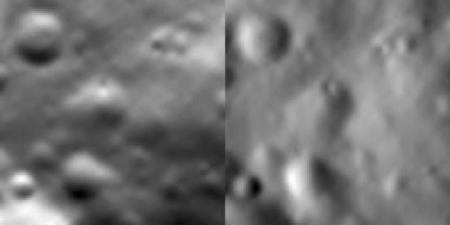
 0. end iterations
 1. more iterations
 2. change weight
0 - end iterations
o
RECENT (=CQ0082) - input 6-character landmark name
y - Reset?(y/n)
 1. Automatic
 2. Manual
 3. Limbs
 4. Detach from limb or landmark
If 2 (Manual) is selected:
Overlapping maps:

CQ0017    0.0120
CQ0046    0.0060
CQ0049    0.0060
CQ0077    0.0060
CQ0080    0.0060
CQ0081    0.0060
CQ0046 - entering name of overlapping map. (0 to end)
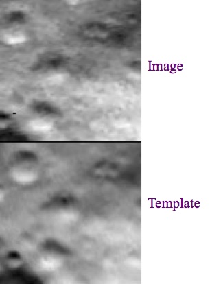
gc tmpl.pgm
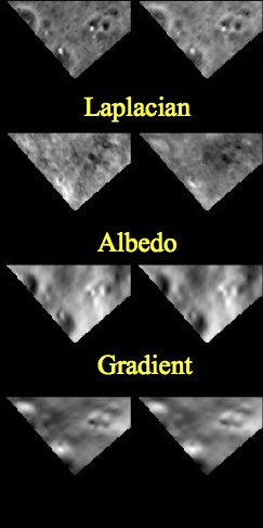
 0. laplacian correlation.
 1. albedo correlation
 2. gradient correlation
0 - laplacian correlation
0.0521 0.0998 0.9254 0.9977
y - iterate offset?(y/n)
y - ?
y - ?
n - ?
y - save result?(y/n)
y - reciprocate (correlation I think)?(y/n)
o
RECENT - inputted 6-character landmark name
y - reset? (y/n)
 1. Automatic
 2. Manual
 3. Limbs
 4. Detach from limb or landmark
1 - Automatic
CQ0017
 -0.1161  0.2823  0.6792  0.9825
  0.0211 -0.0060  0.6810  0.9819
  0.0010  0.0024  0.6811  0.9819
  0.0003  0.0000  0.6811  0.9819
 -0.0937  0.2787 -0.3610
CQOO82
  0.1085 -0.1120  0.9092  0.9974
  0.0073 -0.0067  0.9141  0.9974
  0.0006 -0.0009  0.9141  0.9974
  0.0000 -0.0001  0.9141  0.9974
  0.1164 -0.1197  0.1653
o
RECENT - inputted 6-character landmark name
n - reset? (y/n)
 1. Automatic
 2. Manual
 3. Limbs
 4. Detach from limb or landmark
3 Limbs
y - clear? (y/n)
1,5,3 - input expansion, res/scale limit, d_hgt limit
M0126110079     286.05    103.29      0.02        33
M0126606842     461.07    199.50      0.05        19
M0127878280      47.32    188.06      0.05        26
M0128123031     263.28    105.08      0.03        62
M0128124639     160.01     81.49      0.01        11
M0128164602     420.62    167.69      0.02        12
o
CQ0082 - inputted 6-character landmark name
n - reset? (y/n)
 1. Automatic
 2. Manual
 3. Limbs
 4. Detach from limb or landmark
4 - Detach from limb or landmark
CQ0046 - entered 6-character image (12-character works too). 0 to end.
0 - entered 6-character image (12-character works too). 0 to end.
