Test11S:
Building topography with Sun Az 45, 0, -45, S/C Az every 45, S/C Zenith 0, 30, 60.
Results Summary:
CompareOBJ with translate produces results I don't trust. Without translate is probably okay, though noticed the large mismatch between the two at step 40 (9 vs 2 cm). Also notice that once I start auto aligning the top of the boulder drops down.
RMS Values:
STEP |
COMPAREOBJ(km)(w/ trans) |
CompareOBJ (km) w/o trans |
compMapVec(m) |
NOTES |
step01 |
5.17 |
23.2 |
0.22424316 |
align by hand |
step02 |
5.40 |
20.0 |
0.18783569 |
had to delete images for step3 |
step03 |
4.95 |
18.1 |
0.16491699 |
|
step05 |
4.27 |
15.8 |
0.13232422 |
autoalign start step6 |
step10 |
3.24 |
12.5 |
5.85937500E-02 |
|
step15 |
2.57 |
11.8 |
3.56445313E-02 |
|
step20 |
2.13 |
11.1 |
2.04772949E-02 |
|
step30 |
1.52 |
10.0 |
9.30786133E-03 |
|
step40 |
1.22 |
9.27 |
2.27050781E-02 |
|
step50 |
0.93 |
8.78 |
3.74145508E-02 |
|
step100 |
0.62 |
7.03 |
8.01696777E-02 |
Traces:
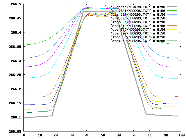
Landmark Display:
step01 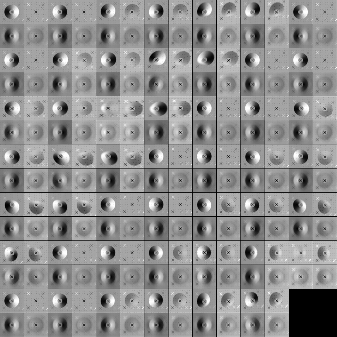
step40 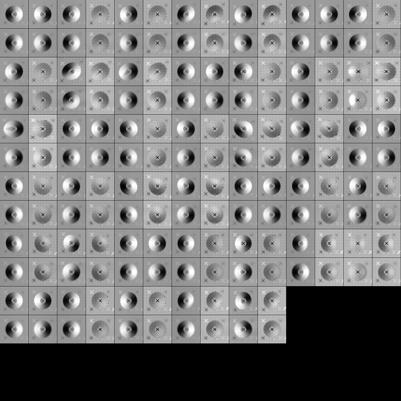
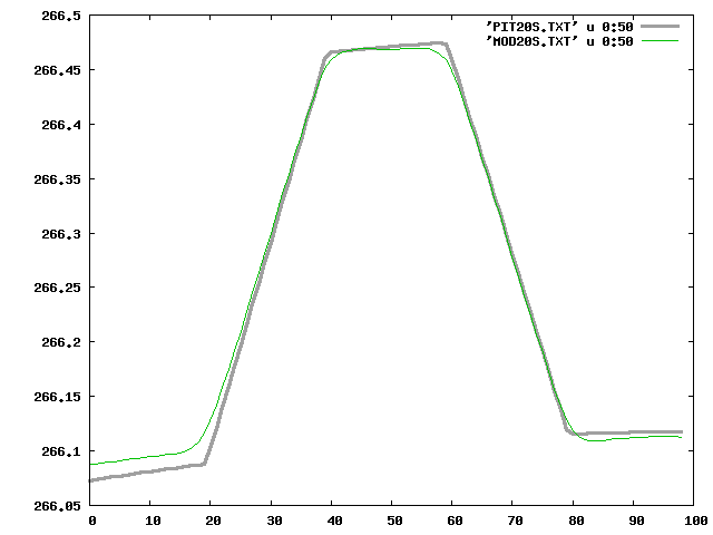
Test make new truth centered on maplet:
Loaded the bigmap the truth was made from, so the topography will account for any drifting of the landmark.
STEP |
COMPAREOBJ(km)(w/ trans) |
CompareOBJ (km) w/o trans |
compMapVec(m) |
NOTES |
step100 |
4.706247749200019E-6 |
7.341779382241212E-5 |
0.12435913 |
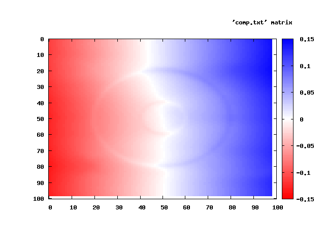
Test make bigmap:
Made a bigmap centered on the same lat/lon as the original truth.
STEP |
COMPAREOBJ(km)(w/ trans) |
CompareOBJ (km) w/o trans |
compMapVec(m) |
NOTES |
step100 |
2.9814663486909314E-5 |
7.358987722499337E-5 |
0.38739014 |
