geometry.e
Makes a surface by solving for the spacecraft position, spacecraft pointing, and Landmark locations. I think you need to run [residuals.e] right after you do this, but I am not sure.
Input - files
SHAPE.TXT - This is the shape model that is stored in directory SHAPEFILES.
Input - stdin
- 1: landmark vectors.
- 2: camera pointing, scobj
- 3: RA/DEC/TWIST
- 0: end.
- input operation list
120
- enter number of iterations
3
- change position and pointing aprioris? (y/n)
n
- use limbs for pointing? (y/n)
y
- continue? (y/n)
n
Output
Geometry Estimation
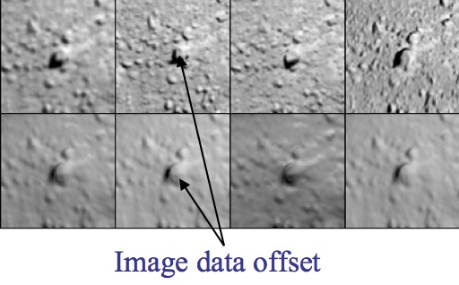
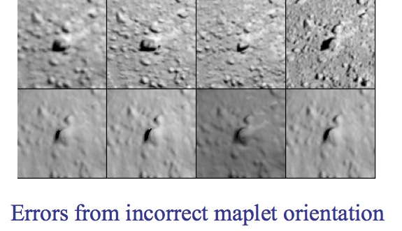
- Spacecraft State - Position and orientation of spacecraft affects size and location of the body in an image. Errors are reflected by offsets of extracted image data from maplets for all maplets in the image.
- Control Point Location - An error in the body-fixed control point location is reflected by offsets of extracted image data for all images containing the maplets.
- Rotation - An error in the transformation from inertial to body fixed frames is reflected in time-dependent offsets in extracted image data for all maplets in all images.
- Differential Stereo - Errors in the maplet heights relative to the center are reflected by differential shifts of features within the extracted image data in addition to displacements from the maplets themselves.


