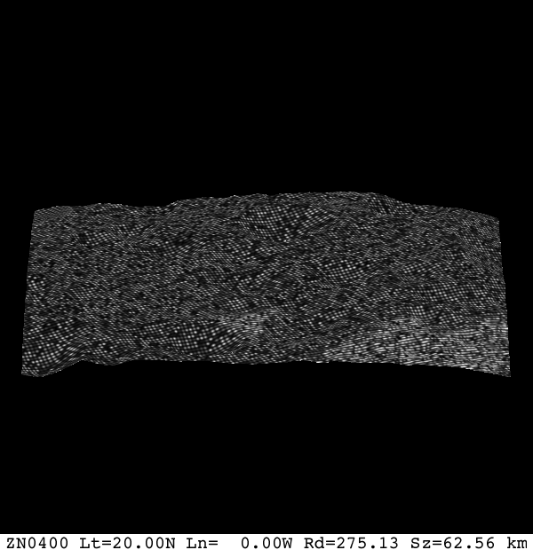
|
Size: 506
Comment:
|
Size: 847
Comment:
|
| Deletions are marked like this. | Additions are marked like this. |
| Line 1: | Line 1: |
| ## page was renamed from image_map_mono.e | |
| Line 9: | Line 9: |
| * PICTFILES - | |
| Line 11: | Line 12: |
| ! No prompt is given for the name of the bigmap | |
| Line 13: | Line 14: |
| * The program asks for slant angle. I assume it from 0 to 90 degrees with 90 being straight now. | * The program asks for slant angle. 0 is straight down. I assume it from 0 to 90 degrees. |
| Line 19: | Line 20: |
| Input PICNM FC21A0011878 * This looks like the name of an image that has a SUMFILE with it * I am guessing that it this image contains the sun position and view angle for the map specified. |
|
| Line 23: | Line 28: |
| * An output image (TBD) | * An output image, view.pgm |
| Line 25: | Line 30: |
| attachment:filename.jpg | {{attachment:image_view_mono.png}} ---- CategoryPrograms |
image_map_mono.e
What this program does
Input - files
- Bigmap - filename given as stdin
- PICTFILES -
Input - stdin
- ! No prompt is given for the name of the bigmap
- A 6 character filename of a bigmap (which needs to be in ./MAPFILES). The program will append the required suffix "MAP" itself.
- The program asks for slant angle. 0 is straight down. I assume it from 0 to 90 degrees.
 123456
 Enter slant angle (degrees)
 30
 Input PICNM
 FC21A0011878
   * This looks like the name of an image that has a SUMFILE with it
   * I am guessing that it this image contains the sun position and view angle for the map specified.
Output
- An output image, view.pgm

