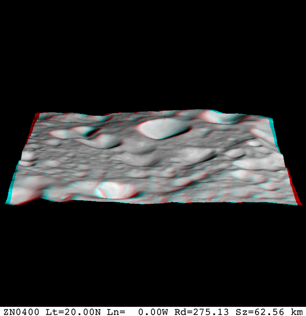
image_map_rgb
Category D |
Version 3.0 |
== Description == ímage_map_rgb generates an image of the bigmap. It renders a 3D image using the red and blue colors to establish depth of view.
Input Files
Input stdin
 123456
 Enter slant angle (degrees)
 30
 Input PICNM
![]() This looks like the name of an image that has a SUMFILE with it. I am guessing that it this image contains the sun position and view angle for the map specified.
This looks like the name of an image that has a SUMFILE with it. I am guessing that it this image contains the sun position and view angle for the map specified. Flatten? (y/n)
![]() Not sure what this does
Not sure what this does Magnification
![]() Note sure what the values are. I've tried 1
Note sure what the values are. I've tried 1 Output Files

