|
Size: 1021
Comment:
|
Size: 1372
Comment:
|
| Deletions are marked like this. | Additions are marked like this. |
| Line 6: | Line 6: |
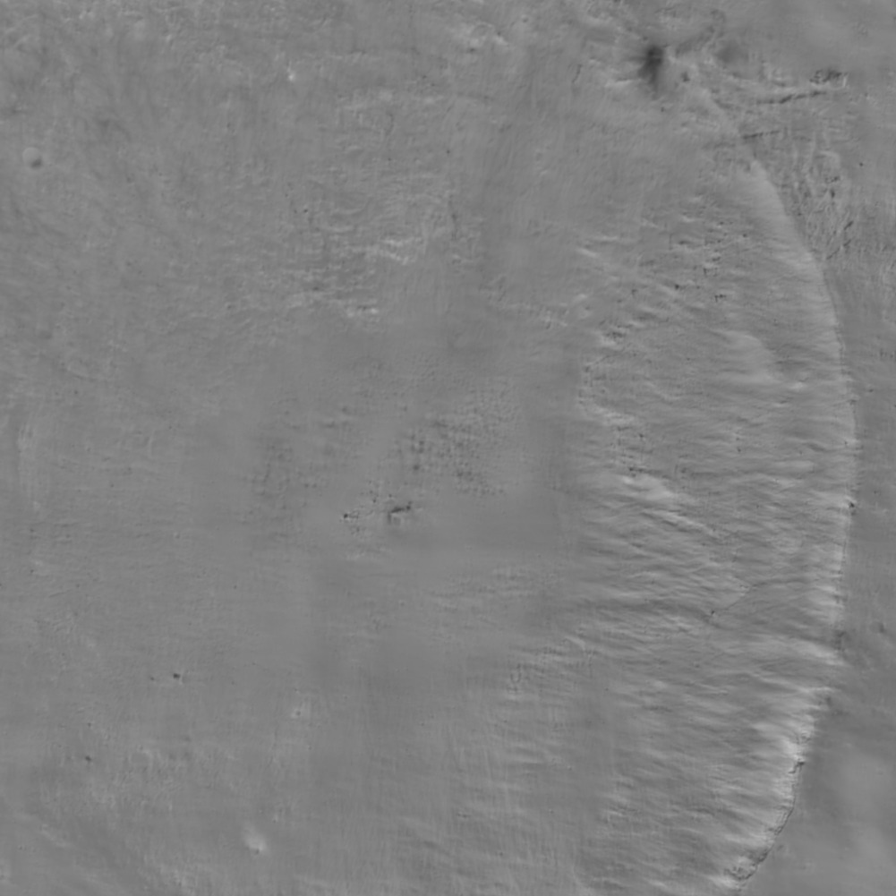
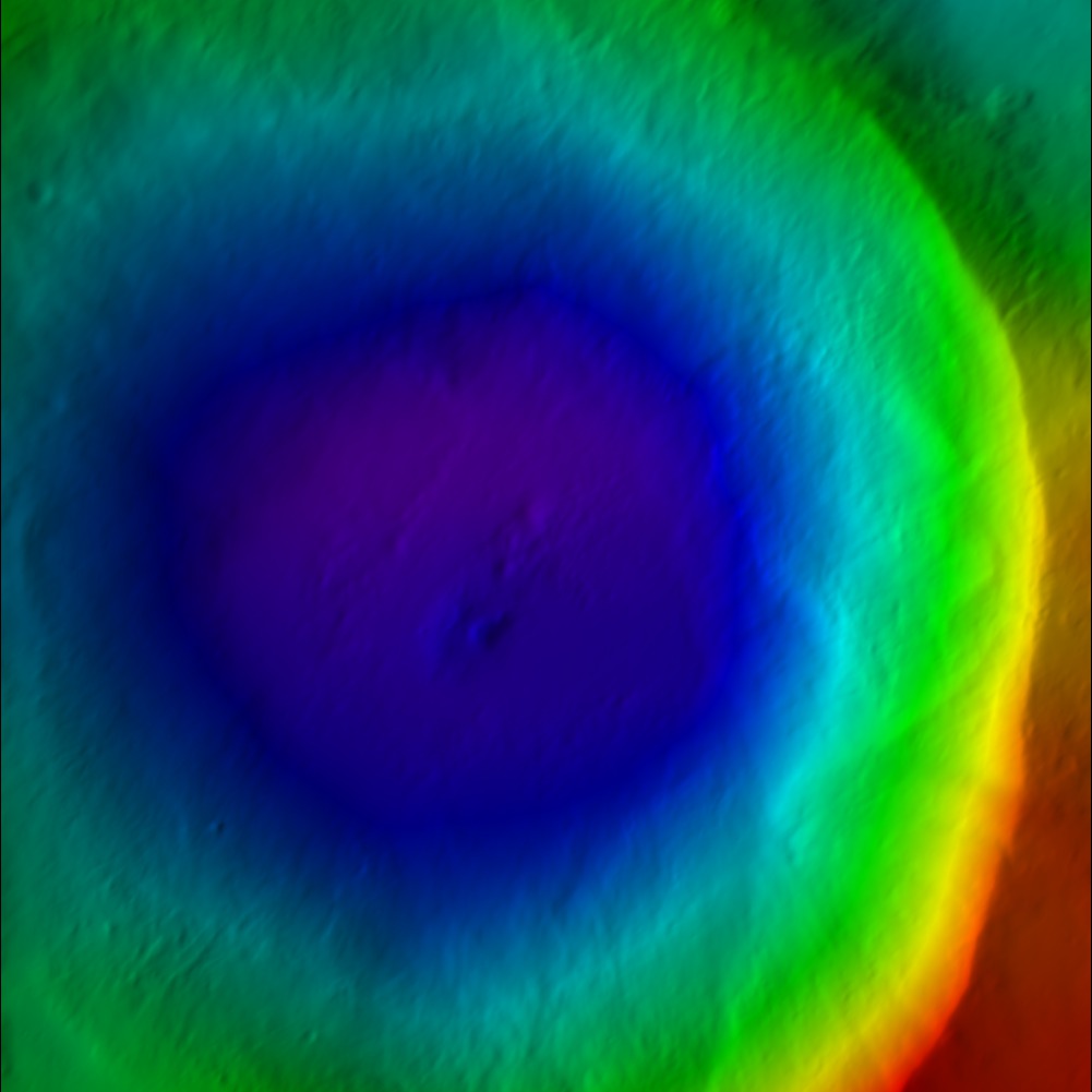
| This reads the Zmap files and makes the resulting map line by line. It creates albedo and DTM maps of the given region. | This reads the Zmap files and makes the resulting map line by line. It creates a suite of data files for a bigmap (REFMAP). It creates a raw (simple binary file) of a 2D matrix for the scaled albedo (sample_ALB) and the topography (DTM). It also creates images (pgm format) of the albedo, topography and color scaled topography. |
| Line 55: | Line 55: |
| * Albedo {{attachment:sample_ALB.jpg}} * Color DTM {{attachment:sample_COL.jpg}} * Greyscale DTM {{attachment:sample_DTM.jpg}} |
spheremapB
(compiled by JRW from material by EEP)
This reads the Zmap files and makes the resulting map line by line. It creates a suite of data files for a bigmap (REFMAP). It creates a raw (simple binary file) of a 2D matrix for the scaled albedo (sample_ALB) and the topography (DTM). It also creates images (pgm format) of the albedo, topography and color scaled topography.
Input - stdin
- What it asks for
  input ltd (deg), elon (deg), scale (km/px),
  half-sizes (px/ln), ref radius (km), tolerance (km)

 0, 0
 0.06250
 500, 500
 265
 50

  input map name

 ZN0000

 a. orthographic
 b. stereographic
 c. equirectangular

 c

  Enter reference latitude
 0


 a. 8  bit DTM
 b. 16 bit DTM

 a

 Enter i,j,h map shift (m) (eg map-lola)
   10.098592111467099        20.849462131360269
 0, 0, 0

 Fix hmin, hmax? (y/n)
 n

 Set max slope (deg)
 60

 Lat/Lon markings? (y/n)
 n
- Albedo

- Color DTM

- Greyscale DTM

Output
<mapname>_ALB.pgm - albedo in bitmap format
<mapname>_ALB.raw - albedo in raw format
<mapname>_COL.ppm
<mapname>_DTM.pgm - digital terrain model - bitmap format
<mapname>_DTM.raw - digital terrain model - raw format
