|
Size: 7757
Comment:
|
Size: 7781
Comment:
|
| Deletions are marked like this. | Additions are marked like this. |
| Line 65: | Line 65: |
| === Input - stdout === |
spheremapsB
(compiled by JRW from material by EEP)
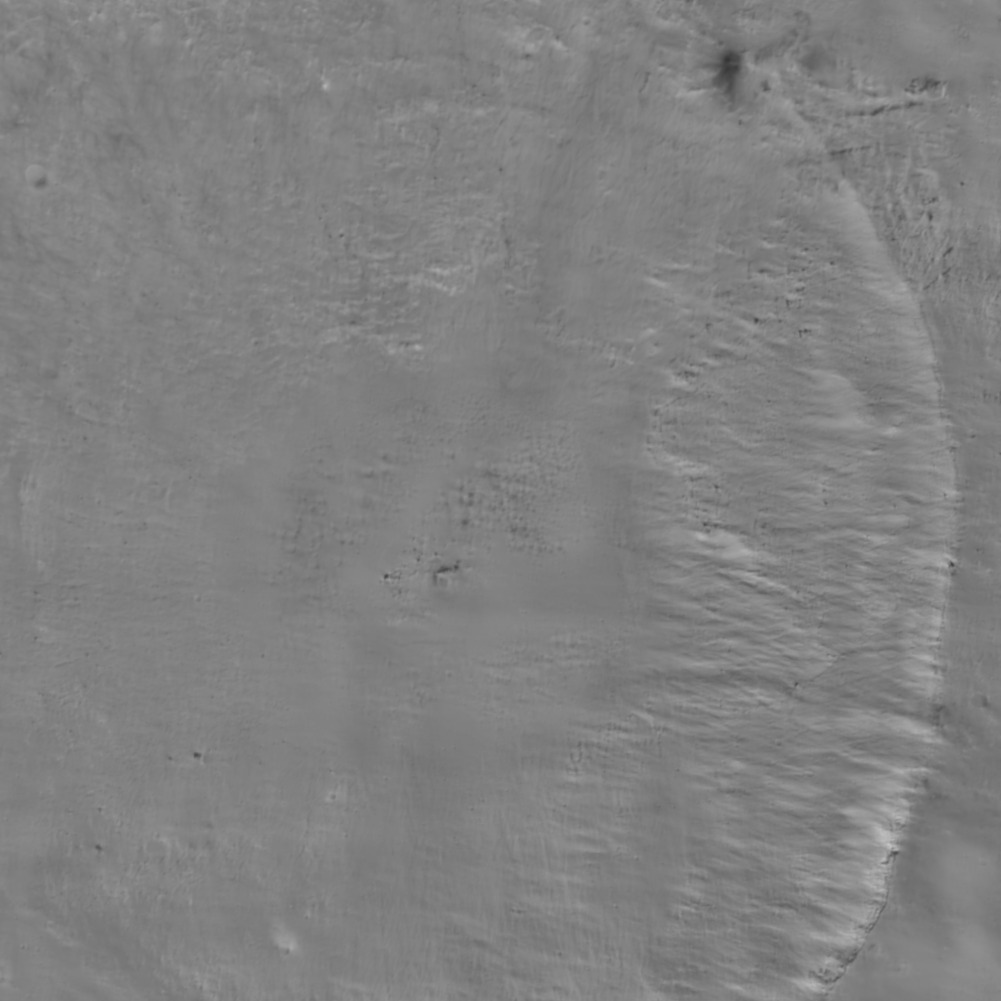
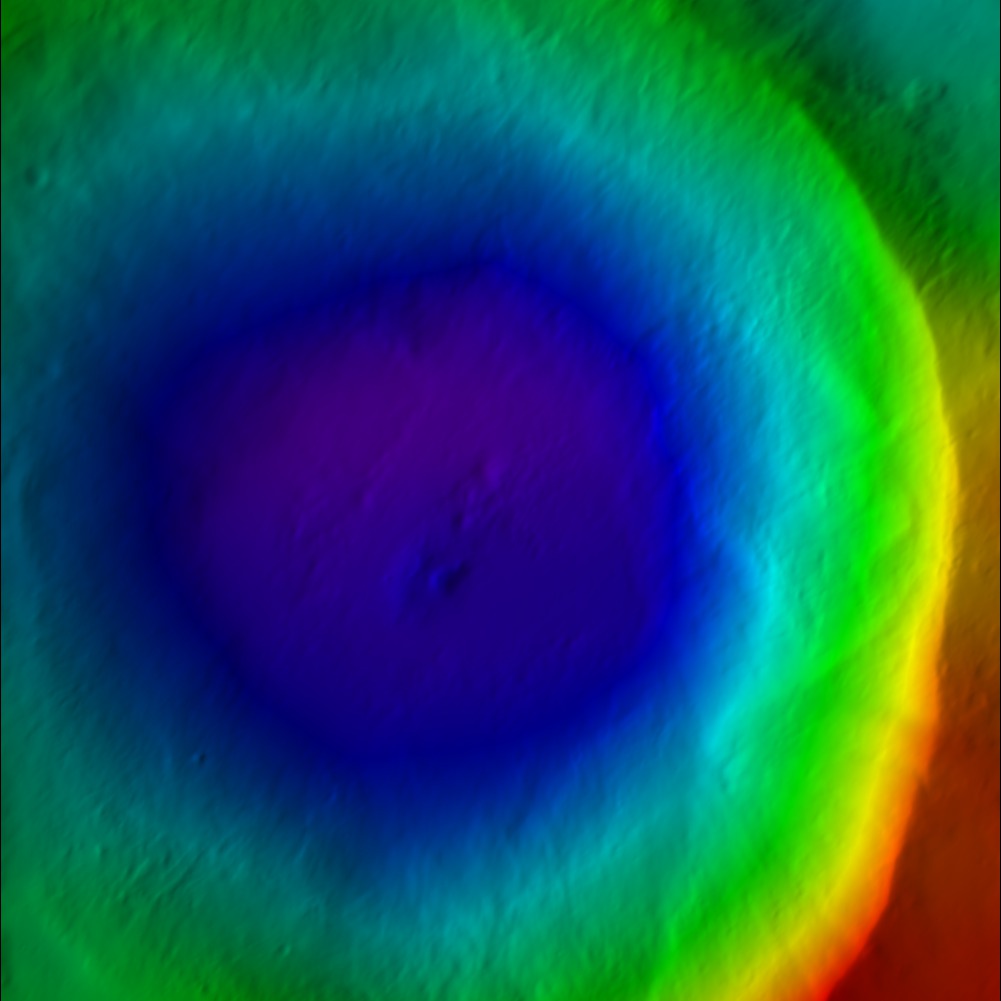
This reads the Zmap files and makes the resulting map line by line. It creates a suite of data files for a bigmap (REFMAP). It creates a raw (simple binary file) of a 2D matrix for the scaled albedo (sample_ALB) and the topography (DTM). It also creates images (pgm format) of the albedo, topography and color scaled topography.
Requires
MAPFILES/ - a directory containing the full suite of maplets;
MAPLIST.TXT - a file listing the map files;
Output
<BIGMAP>_DTM.pgm - Bigmap pgm image file
<BIGMAP>_DTM.raw - Bigmap raw image file
<BIGMAP>_COL.ppm - Bigmap raw image file
<BIGMAP>_ALB.pgm - Big albedo map pgm image file
<BIGMAP>_ALB.raw - Big albedo map raw image file
Input - stdin
What it asks for:
  input ltd (deg), elon (deg), scale (km/px),
  half-sizes (px/ln), ref radius (km), tolerance (km)

 0, 0
 0.06250
 500, 500
 265
 50

  input map name

 ZN0000

 a. orthographic
 b. stereographic
 c. equirectangular

 c

  Enter reference latitude
 0


 a. 8  bit DTM
 b. 16 bit DTM

 a

 Enter i,j,h map shift (m) (eg map-lola)
   10.098592111467099        20.849462131360269
 0, 0, 0

 Fix hmin, hmax? (y/n)
 n

 Set max slope (deg)
 60

 Lat/Lon markings? (y/n)
 n
Input - stdout
- Albedo

- Color DTM

- Greyscale DTM

From spheremapsB.f
C     This procedure re-samples the surface vectors providid ba a set of
C     BIGMAPs onto a sphere with a radius characteristic of the body.  Id
C     does so one outputline at a time so that arbitrarily large maps can
C     be produced.
C
C     The procedure produces three types of map.  A simple digital
C     elevation map (DEM) that provides te height above (or below) the
C     reference sphere at each point in either 8- or 16-bit format, a
C     shaded relief map (color coded with shading), and a relative albedo
C     map.  This latter should be taken with a grain of salt, since the
C     albedo solution from SPC is quite crude.  The DEM and albedo map are
C     presented as both raw and as .pgm files, while the shaded relief is
C     a .ppm file.  The raw files are included because they are easier to
C     ingest into other systems such as ISIS.  The .pgm DEM file has a
C     header that includes the ancillary information for the projection.
C     It can be read by any text editor.
C
C     Three types of projection are recognized by spheremapsB.  Orthographic and
C     stereographis are usually used for polar projections while equirectangular
C     (cylindrical) is used for oher regions, including the global DEM.  The program
C     first asks for:
C
C          central latitude and east longitude in degrees,
C          the scale (km/px),
C          the half-sizes in pixel and line directions,
C          ref radius (km),
C          tolerance (km)
C
C     The last entry is a search limit in case one of the maps has some bad data in it
C     and is displaced too far from the expected height.
C
C     The user then enters a name for the map, MAPNM.  Note that his does not have to be
C     6-characters.  Then the user chooses the projection:
C
C          a. orthographic
C          b. stereographic
C          c. equirectangular
C
C     If a or b is chosen, the user enters a cone angle.  For example, if the cone angle
C     is 70 degrees and the central latitude is 90 degrees, then the map will cover from
C     20 degrees north to the pole.  If c is chosen, the user is asked for a reference
C     latitude.  At that latitude, the pixels are square at a resolution equal to the
C     scale chosen above.  Poleward, the pixels are at higher resolution in the east-
C     west direction.  If the longitude range of the plot is to be DLON and Q is the
C     half-size in pixels in the east-west direction, then
C
C          2*Q*scale=R0*cos(Rlat)*DLON*pi/180
C
C     In particular, if we want a global DEM at, say 32 pixels per degree then DLON=360,
C     2*Q=360*32 and if Rlat=0 then scale=R0*pi/32*180.
C
C     After deciding on the type of projection and its parameters, the user is asked:
C
C          a. 8  bit DTM
C          b. 16 bit DTM
C
C     where if the latter is chosen the data will be "unsigned short" (MSB).  The next
C     choice is:
C
C          Fix hmin, hmax? (y/n)
C
C     If 'n' is chosen, the minimum and maximum heights will be those found for the
C     entire map.  On occasion,  especially if multiple maps are used to cover the body,
C     we want to use the same values for all maps and if ''y is chosen we enter those
C     values next.
C
C          Set max slope (deg)
C
C     The shaded relief map MAPNM_COL.ppm has both color coded heights and slopes
C     determined by pixel differencing so the maps appear to be illuminated from the
C     left.  The maximum slope, usually set to 45 degrees, sets the scale for the
C     apparent illumination.   A final choice is:
C
C          Lat/Lon markings? (y/n)
C
C     If 'y' is chosen, the user inputs spacings for lines of constant latitude and longitude
C     to be marked in white on the MAPNM_COL.ppm.
C
C     The MAPNM_DEM.pgm file has a header that includes ancillary information for the
C     projection.  For equirectangular projection the header looks like:
C
C          P5
C          #PROJECTION = EQUIRECTANGULAR
C          #REFERENCE RADIUS =         255.00000
C          #REFERENCE LATITUDE =         0.00000
C          #      -90.0000000464        0.0000000000       90.0000000464   MN, CT, MX LAT
C          #     -180.0000000928        0.0000000000      180.0000000928   MN, CT, MX LON
C          #               17281                8641                       IMAX, JMAX
C          #    0.9272061656D-01    0.1235028039D-02                       SCL, HTSCL
C          #   -0.4309964495D+02    0.3783668255D+02                       HTMIN, HTMAX
C          #    0.2550000000D+03    0.0000000000D+00    0.0000000000D+00   VLM
C          #    0.0000000000D+00    0.0000000000D+00   -0.1000000000D+01   UX
C          #   -0.0000000000D+00    0.1000000000D+01    0.0000000000D+00   UY
C          #    0.1000000000D+01    0.0000000000D+00    0.0000000000D+00   UZ
C          17281 8641
C          65535
C
C     where the lines without # specify the .pgm format.  For orthographic and stereographic
C     projections, the heaer looks like:
C
C          P5
C          #PROJECTION = STEREOGRAPHIC
C          #REFERENCE RADIUS =         250.00000
C          #               10401               10401                       IMAX, JMAX
C          #    0.1000000000D+00    0.1235079957D-02                       SCL, HTSCL
C          #   -0.3810336140D+02    0.4283636848D+02                       HTMIN, HTMAX
C          #    0.0000000000D+00    0.0000000000D+00    0.2500000000D+03   VLM
C          #    0.1000000000D+01    0.0000000000D+00    0.0000000000D+00   UX
C          #    0.0000000000D+00    0.1000000000D+01    0.0000000000D+00   UY
C          #    0.0000000000D+00    0.0000000000D+00    0.1000000000D+01   UZ
C          10401 10401
C          65535
