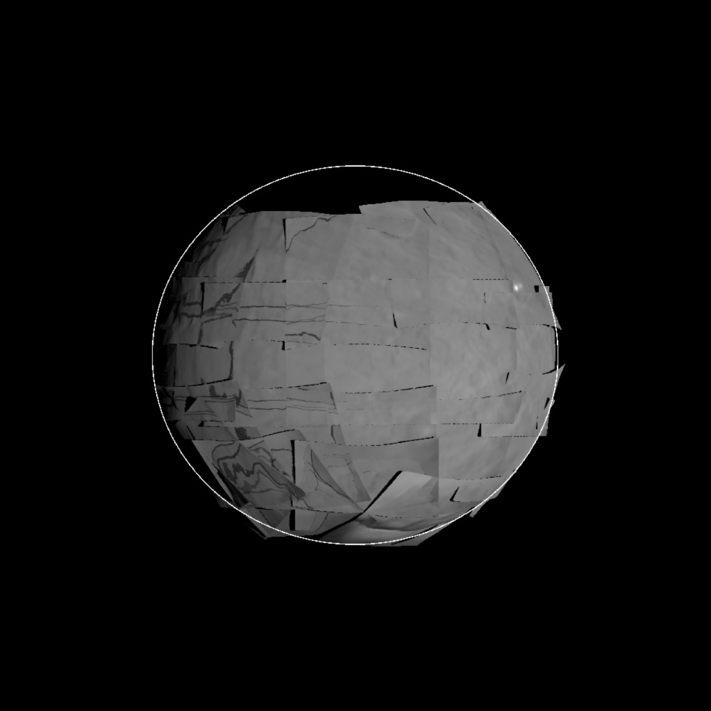
view_maps
What this program does (Makes an image of the map coverage)
Requires - files
geometry.in -- typically, this will be copied from geometry_01.in to geometry_08.in
- SHAPEFILES/SHAPE00.TXT -- This is a dumbed down version of the shape. It is used when you select the shapefile outline option (4/5/6)
Input - stdin
- Menu
   Running VIEW_MAPS
 0. All maps
 1. Maps with lmks or limbs
 2. Maps with lmks
 3. Maps with lmks, no albedo
 4. All maps + shape outline
 5. Maps with lmks or limbs + shape outline
 6. Maps with lmks + shape outline
- It works best to just select option 5. This will build the object as well as put a thin line depicting the base shape (as defined by SHAPE00.txt)
Output
- view.jpg -- the image taken from one of the geometry.in stations.
