MMAPL5 located at -8.858 263.551
Purpose: To test if ultra-high resolution imagery (i.e. 0.5 cm resolution) will improve the solution of shape3 topography (i.e. vertical boulders) and snap the heights of boulders into place.
Data
- Data was generated by Imager_mg using shape3.8 on ormacsrv1.
- - Centered at the middle of TAG site one.
- Image Suite: Optimal flight path, resolutions: 50cm, 20cm, 10cm, 5cm, 1cm, and 0.5cm.
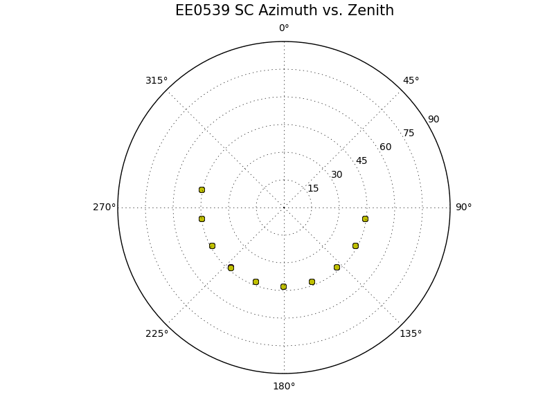
Larger maplet: Spacecraft:
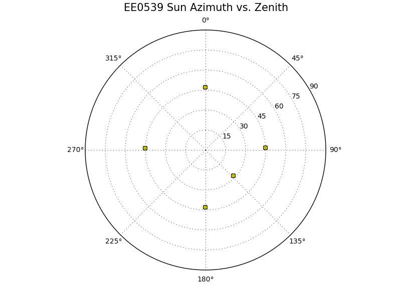
Sun:
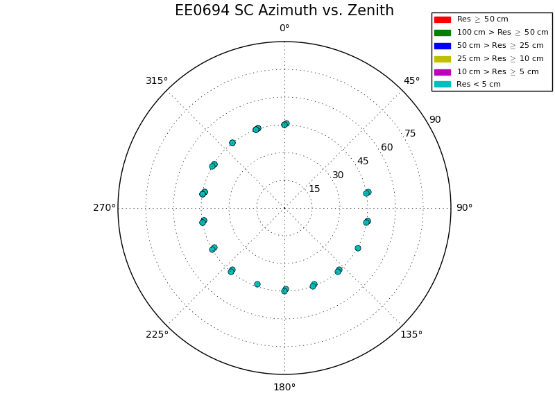
Smaller maplet Spacecraft:
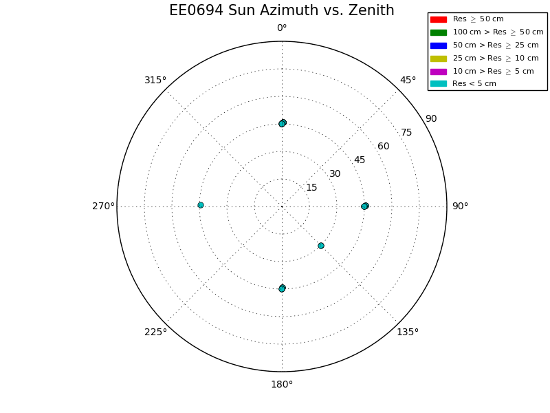
Sun:
Evaluation Bigmap:
Name |
GSD |
Q |
Width |
MMAPL5 |
0.5cm |
200 |
2m |
Results
Test Step |
CompareOBJ w/o trans or rot |
step02a (tile) |
2.91cm |
step01a (tile) |
2.80cm |
step0p5a (tile) |
2.66cm |
step0p5b (add images, b4 didn't work) |
ND |
step0p5c (iterate without new images) |
ND |
step0p5d (ran b4 on new images) |
ND |
step0p5e (iterate with new images) |
2.71cm |
5cm GSD maplets from 5cm images
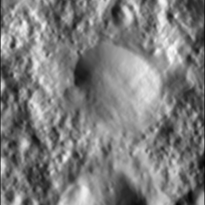
2cm GSD maplets from 1cm images
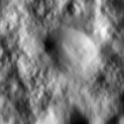
1cm GSD maplets from 1cm images
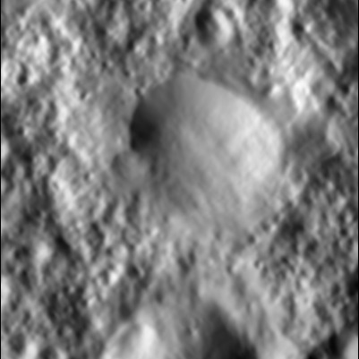
0.5cm GSD maplets from 1cm images
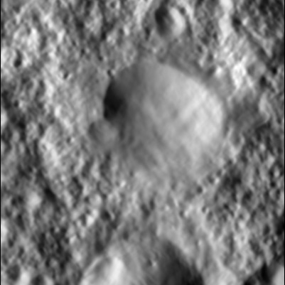
0.5cm GSD maplets from 0.5cm images
Tiling Script:
0.000005,49
g
i
a
y
.5
n
x
.025
0
a
b
n
XXXXXX
n
2
u
1
v
2
e
a
0,65,.5,.5,0,3
1
0
3
n
0
y
1
0
1
n
0
y
0
c
.5
0
0
40
1
0
3
n
0
y
1
0
1
n
0
y
e
o
.5
0
a
u
1
0
0
40
2
8
2
.01
1
4
1, 2.5, 3
6
y
y
0
.025
30
0
u
1
v
1
1
0
1
n
0
y
u
1
0
0
40
1
0
2
n
0
y
1
0
1
n
0
y
e
o
.5
u
1
0
0
40
2
8
2
.01
1
4
1, 2.5, 3
6
y
y
0
.025
30
0
u
1
v
1
1
0
1
n
0
y
u
1
o
RECENT
y
1
o
RECENT
n
3
y
1, 3, 5 w
i
RECENT
n
n
v
1
u
1
#v
#4
o
RECENT
n
1
q
END
Iteration Script:
# This script performs two maplet iterations in parallel mode.
# It reinitializes slope and albedo.
# It recomputes maplet overlaps.
# It recomputes limb fits.
# It recomputes central maplet vector.
# Topography determination from slopes is conditioned by:
#   Initial topography,
#   Overlapping topography,
#   Shadowing,
#   Differential stereo,
#   Limb heghts.
# Dataless area slopes are set from the shape model.
#
# The script hides most of the screen output.  In order to obtain the
# full display replace H* by #H*.
#
# Modified 2011_12_31.  Header and comments added.
# Modified 2014_02_26.  Hide screen output added.
#
H*
x
.025
#
# Initialize slope and albedo.
#
#a
#y
#y
#
# Begin first iteration.
#
0
40
1
0
1
n
0
y
u
0
40
#
# Begin topo determination.
#
2
8                fill no data with shape slope
2                condition with existing topo
.01
7                condition with shadows
.025
1                condition with overlapping maps
4                condition with limbs
1, 2.5, 3
6                condition with differential stereo
y
0                begin integration
.025
15
0
u
1
0
2
n
0
y
1
0
1
n
0
y
u
#
# Begin second iteration.
#
0
40
1
0
1
n
0
y
u
0
40
#
# Begin topo determination.
#
2
8
2
.01
7
.025
1
4
1, 2.5, 3
6
y
0
.025
15
0
u
1
0
2
n
0
y
H*
1
0
1
n
0
y
H*
u
#
# Begin overlaps and limb fits.
#
o
RECENT
y
1
o
RECENT
n
3
y
1, 3, 5
#
# Central vector determination.
#
v
RECENT
q
END
