|
Size: 1955
Comment:
|
Size: 1959
Comment:
|
| Deletions are marked like this. | Additions are marked like this. |
| Line 53: | Line 53: |
| { | {{{ |
| Line 218: | Line 218: |
| } | }}} |
MMAPL5 located at -8.858 263.551
Purpose: To test if ultra-high resolution imagery (i.e. 0.5 cm resolution) will improve the solution of shape3 topography (i.e. vertical boulders) and snap the heights of boulders into place.
Data
- Data was generated by Imager_mg using shape3.8 on ormacsrv1.
- - Centered at the middle of TAG site one.
- Image Suite: Optimal flight path, resolutions: 50cm, 20cm, 10cm, 5cm, 1cm, and 0.5cm.
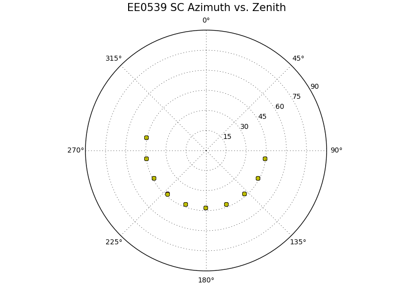
Spacecraft:
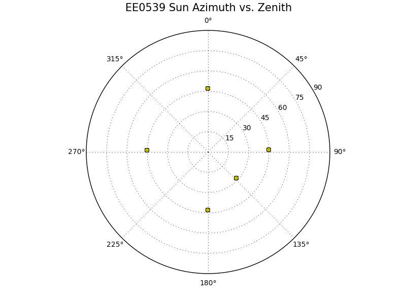
Sun:
Evaluation Bigmap:
Name |
GSD |
Q |
Width |
MMAPL5 |
0.5cm |
200 |
2m |
Results
Test Step |
CompareOBJ w/o trans or rot |
step02a (tile) |
2.91cm |
step01a (tile) |
2.80cm |
step0p5a (tile) |
2.66cm |
step0p5b (add images, b4 didn't work) |
ND |
step0p5c (iterate without new images) |
ND |
step0p5d (ran b4 on new images) |
ND |
step0p5e (iterate with new images) |
2.71cm |
5cm GSD maplets from 5cm images
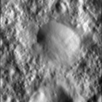
2cm GSD maplets from 1cm images
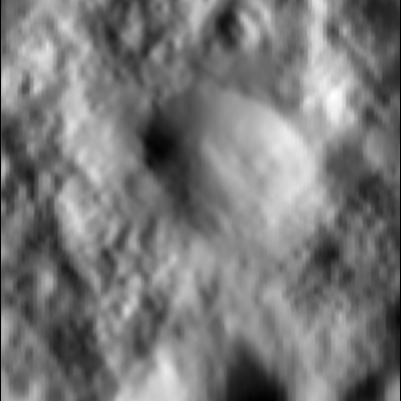
1cm GSD maplets from 1cm images
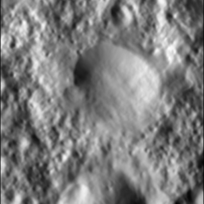
0.5cm GSD maplets from 1cm images
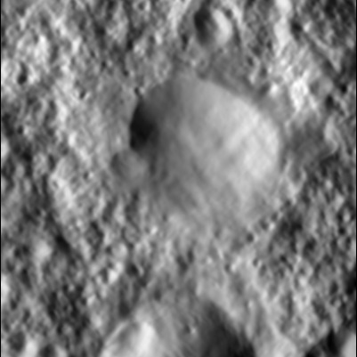
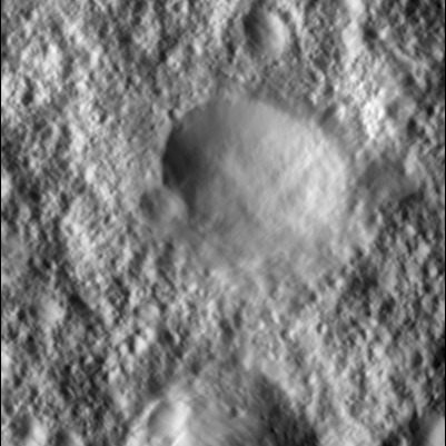
0.5cm GSD maplets from 0.5cm images
Tiling Script:
0.000005,49
g
i
a
y
.5
n
x
.025
0
a
b
n
XXXXXX
n
2
u
1
v
2
e
a
0,65,.5,.5,0,3
1
0
3
n
0
y
1
0
1
n
0
y
0
c
.5
0
0
40
1
0
3
n
0
y
1
0
1
n
0
y
e
o
.5
0
a
u
1
0
0
40
2
8
2
.01
1
4
1, 2.5, 3
6
y
y
0
.025
30
0
u
1
v
1
1
0
1
n
0
y
u
1
0
0
40
1
0
2
n
0
y
1
0
1
n
0
y
e
o
.5
u
1
0
0
40
2
8
2
.01
1
4
1, 2.5, 3
6
y
y
0
.025
30
0
u
1
v
1
1
0
1
n
0
y
u
1
o
RECENT
y
1
o
RECENT
n
3
y
1, 3, 5 w
i
RECENT
n
n
v
1
u
1
#v
#4
o
RECENT
n
1
q
END
