MMAPL5 located at -8.858 263.551
Purpose: To test if ultra-high resolution imagery (i.e. 0.2 cm resolution) will improve the solution of shape3 topography (i.e. vertical boulders) and snap the heights of boulders into place.
Data
- Data was generated by Imager_mg using shape3.8 on ormacsrv1.
- - Centered at the middle of TAG site one.
- Image Suite: Optimal flight path, resolutions: 50cm, 20cm, 10cm, 5cm, 1cm, 0.5cm, and 0.25cm.
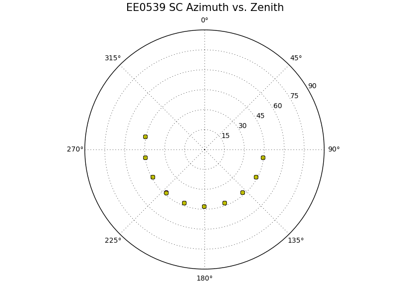
Spacecraft:

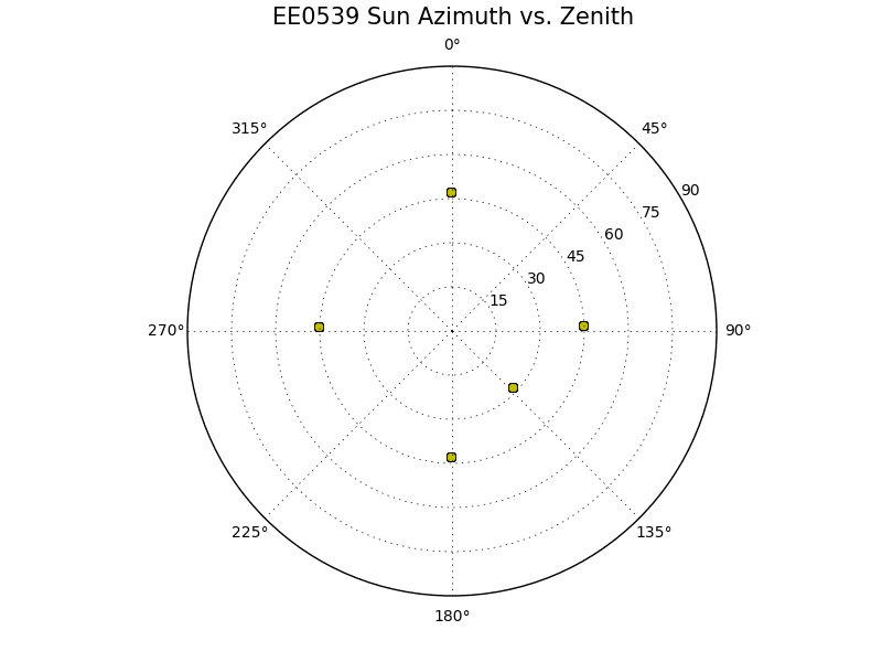
Sun:

Evaluation Bigmap:
Name |
GSD |
Q |
Width |
MMAPL5 |
0.5cm |
200 |
2m |
Results
Test Step |
CompareOBJ w/o trans or rot |
step02a (tile) |
2.91cm |
step01a (tile) |
2.80cm |
step0p5a (tile) |
2.66cm |
step0p5b (add images, b4 didn't work) |
ND |
step0p5c (iterate without new images) |
ND |
step0p5d (ran b4 to on new images) |
ND |
step0p5e (iterate with new images) |
2.71cm |
