|
Size: 457
Comment:
|
← Revision 25 as of 2018-05-06 11:06:52 ⇥
Size: 783
Comment:
|
| Deletions are marked like this. | Additions are marked like this. |
| Line 1: | Line 1: |
| ## page was renamed from coverage.e | |
| Line 2: | Line 3: |
||Category D||Version 3.0|| |
|
| Line 6: | Line 9: |
| * view_maps.in (you get this from using ["update_infiles.e"]) | * view_maps.in (you get this from using [[update_infiles.e]]) |
| Line 9: | Line 12: |
| * stdin: {{{ |
* What type of maps to use (all, only with landmarks and/or limbs). Typically 2 * Resolution (start and ending resolution). * If you are working with limbs, do you want to see that data also? Example {{{ ~/bin/coverage.e |
| Line 14: | Line 23: |
| 2 0,.1 n |
|
| Line 16: | Line 28: |
| * 0,.1 (start and ending resolution) | |
| Line 20: | Line 31: |
{{attachment:coverage.jpg}} ---------- CategoryPrograms |
coverage
Category D |
Version 3.0 |
Generates global coverage of what has been tiled and processed (as per landmark files)
Input - files
view_maps.in (you get this from using update_infiles.e)
Input - stdin
- What type of maps to use (all, only with landmarks and/or limbs). Typically 2
- Resolution (start and ending resolution).
- If you are working with limbs, do you want to see that data also?
Example
 ~/bin/coverage.e
  0. All maps
  1. Maps with lmks or limbs
  2. Maps with lmks
 2
 0,.1
 n
Output
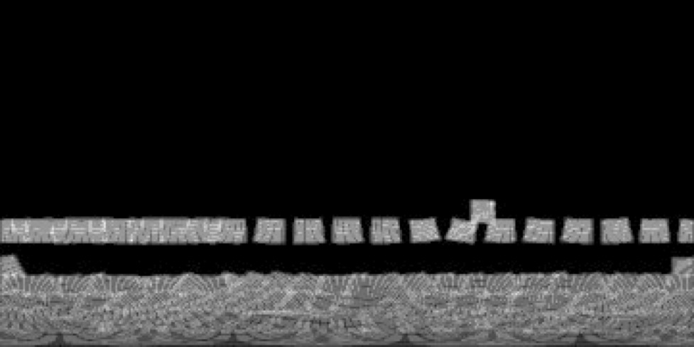
- coverage_g.pgm - a global map showing what has been tiled to the specified resolution

