Overview
3.4 SpheremapB reads in the current shape model and uses it to calculate gravity and albedo data (2D grids and images) for a specific bigmap region.
Input
/usr/local/bin/spheremapB

10.429 191 0.050
500 500 265 70
sample
c
10
a
0 0 0
n
60
n
Output
Output should be exact (diff)
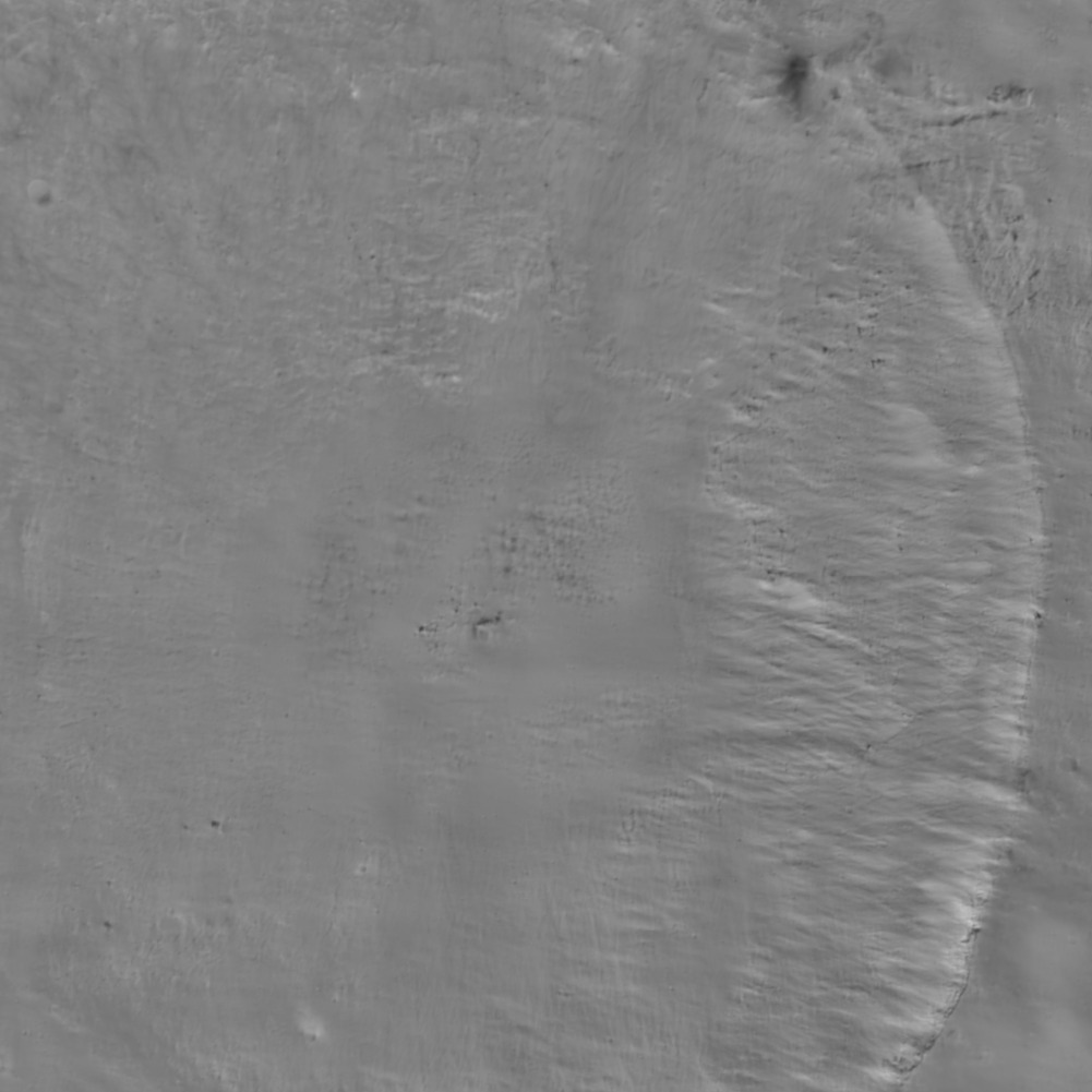
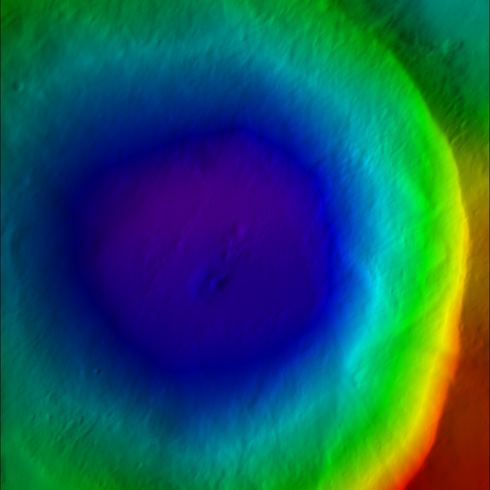
This created a suite of data files for a bigmap (REFMAP). It created a raw (simple binary file) of a 2D matrix for the scaled albedo (sample_ALB) and the topography (DTM). It also created images (pgm format) of the albedo, topography and color scaled topography.
/Users/epalm#/osiris/working$ ~/bin/spheremapsB.e

 input ltd (deg), elon (deg), scale (km/px),
  half-sizes (px/ln), ref radius (km), tolerance (km)
10.429 169.196 0.005
500 500
265
50

 input map name
sample

 a. orthographic
 b. stereographic
 c. equirectangular
c

 Enter reference latitude
0

 a. 8  bit DTM
 b. 16 bit DTM
a

 Enter i,j,h map shift (m) (eg map-lola)
0 0 0
   10.109395337649858        20.857825073993354

 Fix hmin, hmax? (y/n)
n
 Set max slope (deg)
60
 Lat/Lon markings? (y/n)
n
- Albedo

- Color DTM

- Greyscale DTM

