|
Size: 3183
Comment:
|
Size: 3921
Comment:
|
| Deletions are marked like this. | Additions are marked like this. |
| Line 12: | Line 12: |
=== REQUIRES === * [[IMAGEFILES]]/ - a directory containing the image .DAT files; * [[SUMFILES]]/ - a directory containing the image .SUM files (updated solution image, S/C and camera information; lmrks and limbs); * [[MAPFILES]]/ - a directory containing the full suite of maplets; * [[LMKFILES]] / - a directory containing the full suite of landmarks; * [[LMRKLIST.TXT]] - a list of the landmarks contained in the solution; Will be used if LMRKLISTX.TXT and LMRKLISTRX.TXT do not exist === OPTIONAL === * [[LMRKLISTX.TXT]] - landmark information (size, scale, position vector, number of images containing the lmrk); will be used if LMRKLISTRX.TXT does not exist * [[LMRKLISTRX.TXT]] - File containing list of images |
lithos
(compiled by JRW)
Aligns maplets to the current shape model and will provide slight changes to the shape (stored in MAPFILES).
Lithos is the key for SPC. It works on a single landmark, which defined the associated maplet. This landmark must be created (i.e. fully defined) and all the images it includes must be shifted so that everything is aligned. Once those are done, you can calculate the topography which includes identifying other maps that overlap, creating a template, and then solving the whole system.
The output from make_script and make_scriptP is used as input to lithos and lithosP for batch processing. The make_script program will create an entry for each landmark in the script.b that you will process, which is taken as input (e.g. lithos < LAND01.IIN > LAND01.OOT)
A common shortcut you can use throughout LITHOS will be to simply hit "Enter" for the default selection. Usually the default will be indicted by brackets. For instance, in the case of "Do you wish to continue? y[n]" hitting "Enter" will default to the "n" selection.
REQUIRES
IMAGEFILES/ - a directory containing the image .DAT files;
SUMFILES/ - a directory containing the image .SUM files (updated solution image, S/C and camera information; lmrks and limbs);
MAPFILES/ - a directory containing the full suite of maplets;
LMKFILES / - a directory containing the full suite of landmarks;
LMRKLIST.TXT - a list of the landmarks contained in the solution; Will be used if LMRKLISTX.TXT and LMRKLISTRX.TXT do not exist
OPTIONAL
LMRKLISTX.TXT - landmark information (size, scale, position vector, number of images containing the lmrk); will be used if LMRKLISTRX.TXT does not exist
LMRKLISTRX.TXT - File containing list of images
The MAIN MENU can be seen from within LITHOS by typing "?" into the user prompt. The following list will be displayed. Each of the links below can be clicked on for further details.
... MAIN MENU ...
- Q. Quit LITHOS
- LANDMARK/MAPLET CONSTRUCTION
2. Find heights
- LANDMARK/MAPLET I/O AND CREATION
- ADJUST INPUT DATA AND NOMINALS
N. Find normal
- DELETE, ELIMINATE OR IGNORE FILES
- INFORMATION AND DISPLAY
To view most of the updates you see while using LITHOS, look at the two files that are displayed every time the Main Menu is loaded
 Current landmark = EE0001
SCALE =  0.000100 QSZ =   49
 Lat/Lon/Rad =     -6.800   264.090     0.266
 Region = EE

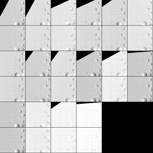
 gc LMRK_DISPLAY0.pgm
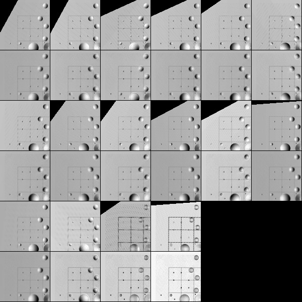
 gc LMRK_DISPLAY1.pgm


 check display
Main Menu: Q 0123O IUCRSG NVAMBX DEPL FZH?
Here is LMRK_DISPLAY0.pgm. It displays the raw images (i.e. no brightness scaling). This image is used rarely (if ever).

Here is LMRK_DISPLAY1.pgm. It displays images that are stretched to bring out features and make the images more "readable". This image is used extensively while using LITHOS.

Link to version original one page (renamed 1/13/16) Old_lithos_text
