|
Size: 878
Comment:
|
← Revision 14 as of 2018-05-05 21:20:04 ⇥
Size: 884
Comment:
|
| Deletions are marked like this. | Additions are marked like this. |
| Line 32: | Line 32: |
| ---- | ---------- |
panaroma
Category ? |
Version ? |
![]() This code was developed for the Mercator Project (LASER Program). The code uses Gaskell's basic infrastructure and data files.
This code was developed for the Mercator Project (LASER Program). The code uses Gaskell's basic infrastructure and data files.
Description
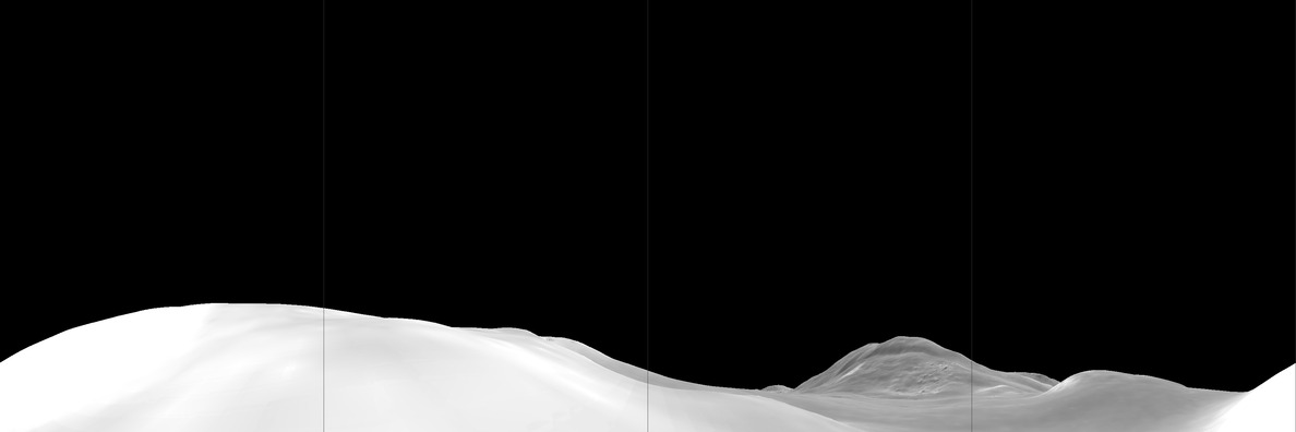
Panaroma will take a big map and generate a 360-degree view of the surface.
Input Files
- none
Input stdin
- Bigmap - 6 character name of a bigmap
- Location - x, y, z of where to make the image. x and y are based on pixels within the bigmap (rather than lat/lon or meters). Z is meters above the surface.
Here's an example input:
 123456
 390, 1990, 10
Output Files
- PANORAMA.pgm - The image file (in pgm format). Currently, I've been using a version that has lines at N, E, S and W. ~epalmer

